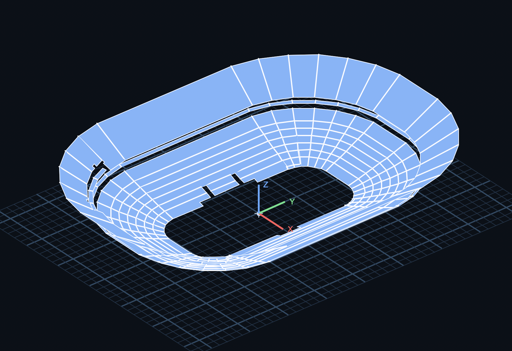
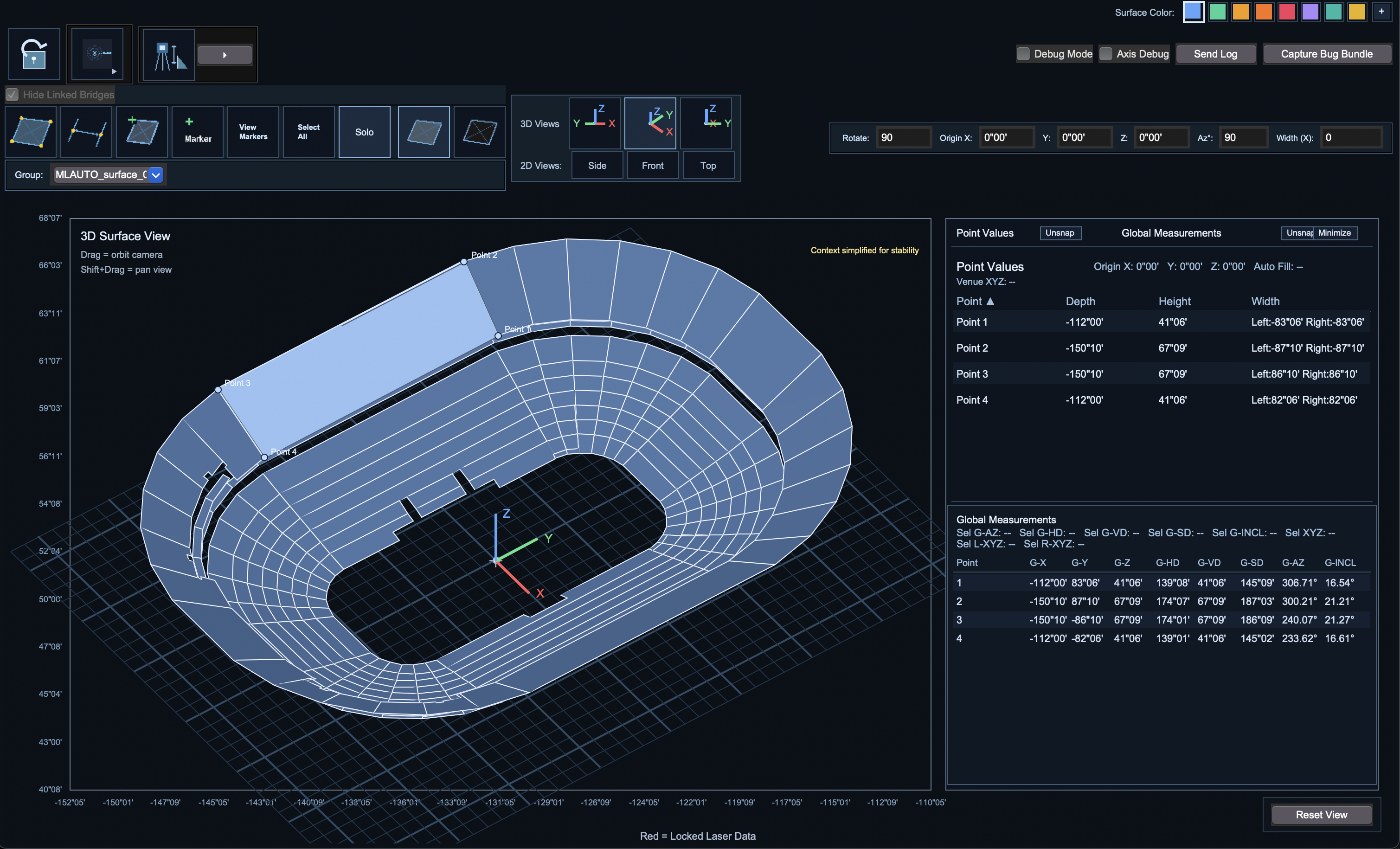
2D and 3D Spatial Viewing and Editing
Switch between dimensional planning and full spatial context while building and refining surfaces in real time.

Contact support@measurelive.com to receive your License Key
Measure Live combines real-time capture, flexible geometry creation, and practical verification tools so teams can move from field measurement to finalized spatial models with confidence.
Switch between dimensional planning and full spatial context while building and refining surfaces in real time.
Exchange project geometry across common production pipelines using standardized file formats.
Connect directly to TruPulse laser range finders to create, edit, and assign points to surfaces as shots are captured.
Bring in room geometry from L-Acoustics SoundVision.
Build with horizontal, vertical, slope, incline, azimuth, or direct XYZ coordinate values depending on what is available on site.
Model smooth sloped corners quickly with dedicated curved bridge workflows.
Import, Create, edit, and organize spatial markers, then generate reports by marker type and location for documentation and handoff.
Move from whole-project oversight to focused single-surface editing with one-click context control.
Apply practical orientation references to verify model positioning during live, on-site checks.
Designed for field teams, system engineers, and venue workflows where speed and spatial accuracy matter.